Pay in 4 interest-free payments of $5.00 Learn more
Shipping Estimate
USA
- USA
- CAN
- USA
- CAN
Ships within 48 hours · Estimated delivery Aug 25 - Aug 30
Pay in 4 interest-free payments of $5.00 Learn more
Ships within 48 hours · Estimated delivery Aug 25 - Aug 30
and natural features
and outdoor adventures
color-coded surface management
Atlas covers roads
Map covers the forest from north of Juneau to south of Ketchikan
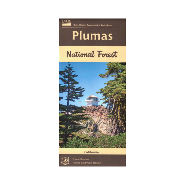
Map: Plumas National Forest CA rabbit and natural featuresMap shows forest lands from Hwy 395 at Hallelujah Junction west to Oroville, and Lake Almanor south to Bullards Bar Reservoir. Numerous opportunities for camping, hiking, boating, fishing, and scenic driving as you explore the forest and travel to several popular lakes. Travel the Feather River Scenic Byway, raft kayak the Wild and Scenic Middle Fork Feather River, or for a rugged experience drive the Plumas Backcountry Discovery Trail requiring a